Your Cart is Empty


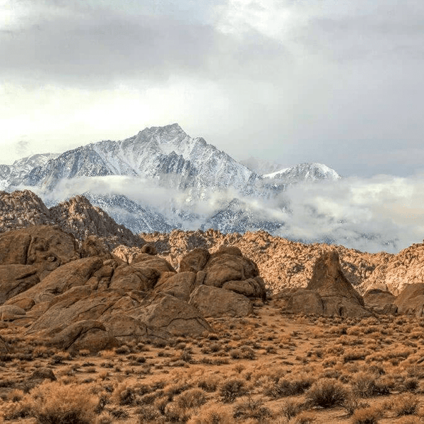
After dozens of trips exploring Joshua Tree, I still get that feeling when twisted silhouettes of iconic Joshua trees appear against the sunset sky. Located about 140 miles east of Los Angeles and near Palm Springs, the Joshua Tree area offers incredible terrain diversity, combining Joshua Tree National Park's protected landscapes with surrounding Bureau of Land Management lands providing extensive off-road driving trails.
Looking for Other Southern California Off-Road Trails? Check out our So-Cal Off-Road Trail Guide
The landscape sits where the Mojave Desert meets the Colorado Desert at elevations between 1,000 and 5,000 feet. You'll navigate through forests of Joshua trees, past massive granite rocks and boulders, across sandy washes, and up to mining ruins scattered throughout the backcountry. The area's mining history adds character with remnants of gold and silver operations visible along many trails.
What makes Joshua Tree's off-road trails special is accessibility combined with variety. Run easy route options suitable for stock vehicles in the morning and tackle rocky sections testing built rigs in the afternoon. Proximity to major Southern California cities, including connections from the San Bernardino Mountains, makes this ideal for weekend adventure trips.
Easy Trails: Stock vehicles can handle these routes during dry conditions. Maintained dirt roads with minimal obstacles, perfect for families and scenic exploration. 4WD recommended but not always required.
Intermediate Trails: 4WD with high clearance required. Mix of maintained and unmaintained sections with sand, rocks, and moderate climbs. Stock vehicles with experienced drivers can complete these trails, but 33-inch tires are recommended for optimal performance.
Advanced Trails: Built rigs essential. Deep sand, technical rock sections, steep climbs, and remote conditions. Minimum 33-inch tires, though 35+ inches preferred. Lockers, armor, and full recovery gear required. Advanced driving experience necessary.
Desert Preparation: Joshua Tree's high desert demands proper prep. Temperature swings between day and night can exceed 40 degrees. Verify cooling system condition, as technical sections in summer heat cause overheating. Carry a minimum of one gallon per person per day of water, double for summer.
Tire Pressure: Critical for terrain mixing rock and sand. Easy trails on packed dirt: drop 5-8 PSI. Intermediate trails with deep sand: 18-20 PSI. Advanced trails: 12-15 PSI depending on setup. A portable compressor is essential.
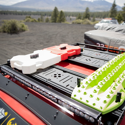
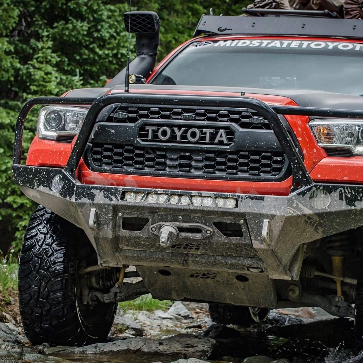
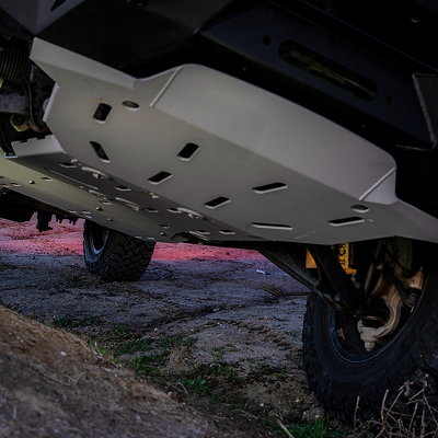
Recovery Gear: Deep sand recoveries are common. Maxtrax is worth every penny. Rock sliders protect on rocky sections. Skid plates provide peace of mind. Advanced trails need lockers, a winch, and a full recovery kit.
Best Season: October through April offers optimal conditions with temperatures in the 60s-80s. Spring brings wildflowers but crowds. Fall provides solitude. Winter can be surprisingly cold at higher elevations with occasional snow on peaks near Eureka Peak and the surrounding mountains.
Summer Warning: May through September is dangerous with temperatures exceeding 110°F. Minimal desert shade. Start at dawn if you want to visit in the summer months.
Flash Floods: Never camp in wash bottoms. If dark clouds appear, head to higher ground. Flash floods turn dry washes into dangerous torrents.
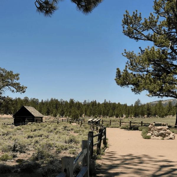
Services: Twentynine Palms (north entrance) and Yucca Valley offer gas, food, and supplies. These are the last chances before heading into the backcountry. Cell coverage is decent in towns, but disappears quickly.
|
Trail |
Difficulty |
Miles |
Time |
Highlights |
Best Season |
|
Queen Valley Roads |
Easy |
~13 |
2-3 hrs |
Boulder piles, forest of Joshua trees |
Fall-Spring |
|
Geology Tour Road |
Easy |
~18 |
1.5-2 hrs |
Geology loop, interpretive signs |
Fall-Spring |
|
Covington Flat to Eureka Peak |
Intermediate |
~19 |
2.5-3 hrs |
Largest Joshua trees, high desert views |
Spring-Fall |
|
Old Dale Road |
Advanced |
~25 |
4-6 hrs |
Historic mines, technical rock sections |
Fall-Spring |
|
Berdoo Canyon Road |
Advanced |
~14 |
2-3 hrs |
Technical canyon route, deep sand |
Fall-Spring |
|
Pinkham Canyon Road |
Advanced |
~19 |
3-4 hrs |
Deep sand, remote backcountry |
Fall-Spring |
|
Black Eagle Mine Road |
Advanced |
~23 |
4-6 hrs |
Historic jade mine, extremely rocky |
Fall-Spring |
Queen Valley Roads offer 13 miles of accessible dirt surfaces perfect for introducing families to off-roading inside Joshua Tree National Park. This network connects Queen Valley Road, Big Horn Pass Road, and O'Dell Road through scenic terrain accessible to stock vehicles during dry conditions.
The roads wind through boulder piles and thick forests with mountain views in all directions. Well-maintained surfaces make this suitable for most high-clearance vehicles, though sandy sections can develop after periods without maintenance. Multiple access points let you customize distance and difficulty at each point.
Plan 2-3 hours for the full network at a relaxed pace with photo stops. This serves as the perfect introduction to the national park's backcountry before tackling more challenging routes.
Geology Tour Road provides a perfect introduction to Joshua Tree National Park without technical driving. This 18-mile loop within the park showcases incredible geology through a well-maintained dirt surface accessible to stock vehicles during dry conditions.
The route features interpretive signs explaining geological formations and ecosystems. You'll see alluvial fans to fault lines with great views of the surrounding mountains. This paved road at the start transitions to well-graded dirt that remains bumpy in spots but manageable.

Plan 1.5-2 hours at a relaxed pace with photos. The loop is one-way heading east through the park. Geology Tour Road serves as an excellent introduction before tackling more challenging options in Joshua Tree National Park.
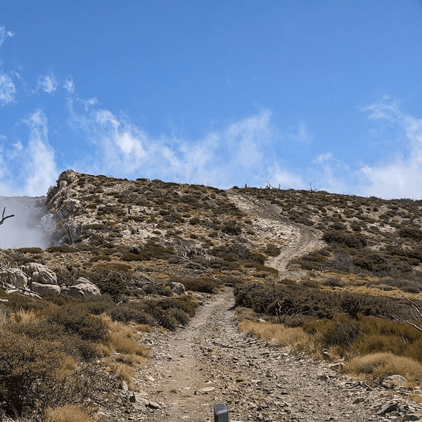
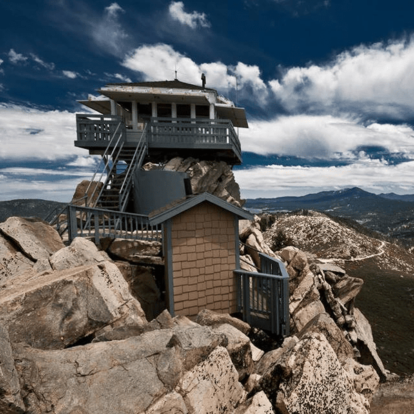
Covington Flat provides a different Joshua Tree National Park experience, climbing into high elevation where massive trees create almost forest-like groves with pinyon pines and junipers. This 19-mile route to Eureka Peak combines moderate technical sections with spectacular 360-degree views from the park's fifth-highest summit point.
The roads start well-maintained but quality varies significantly as you climb west and north. Lower sections remain accessible to stock 4WD vehicles, but the route to Eureka Peak requires high clearance and features embedded rocks, moderately difficult climbs, and steep sections near the summit. The final push gets noticeably rockier with elevation gain testing your vehicle.

From Eureka Peak's summit at 5,518 feet, you'll see Palm Springs, the Coachella Valley, and the Morongo Basin. Plan 2.5-3 hours for the full route, more if exploring spur roads heading to various viewpoints.
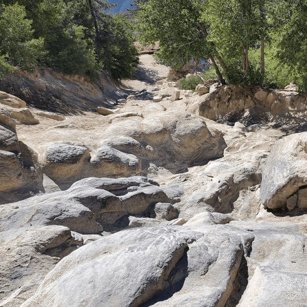
Old Dale Road delivers 25 miles of genuine backcountry adventure through historic mining country in the park and beyond, combining deep sand crossings with technical rock sections that demand capable rigs and experienced drivers. This route passes remnants of gold and silver operations while testing your vehicle's capabilities on what some consider the park's most challenging terrain.
The trail takes you across relatively easy sandy flats at first, but conditions change dramatically once you enter the Pinto Mountains. Rocky sections feature embedded boulders, steep climbs, and off-camber challenges. The northern sections near Brooklyn Mine Road junction become increasingly technical with deep ruts and exposed rock creating a wild ride.
Minimum requirements: 4WD with high clearance, 33-inch tires (35+ preferred), skid plates, and recovery gear. Old Dale Road exits Joshua Tree National Park into BLM land where numerous spur roads lead to historic mines including Golden Egg, Sunset, and Mission Mine. Plan 4-6 hours and carry extra water and emergency supplies.

Berdoo Canyon Road offers a technical 14-mile descent from the south end of Joshua Tree National Park through dramatic canyon scenery to the Coachella Valley near Dillon Road. This advanced option combines deep sand washes with rocky sections and careful line selection that demands skilled 4WD driving. The Berdoo Canyon Trail weaves through changing ecosystems as you descend.
The trail starts at elevation in the park and descends through progressively changing landscapes. Sandy washes require momentum management and proper tire pressure (18-20 PSI recommended). Rocky sections test approach angles and clearance. Canyon walls create dramatic scenery as you descend toward Mecca on the route.
Running from the park to Mecca is mostly downhill and easier than reverse direction. Plan 2-3 hours for the Berdoo Canyon Trail. Lower portions near Mecca get extremely hot in summer, making fall through spring best seasons. Minimum 4WD with all-terrain tires required for Berdoo Canyon; 33-inch tires make sandy sections significantly more manageable.

Pinkham Canyon Road offers 19 miles of challenging remote backcountry exploration starting just south of Cottonwood Visitor Center in Joshua Tree National Park. This advanced route travels through Smoke Tree Wash before cutting through Pinkham Canyon, featuring deep sand, rocky flood plains, and genuine isolation within the national park boundaries and adjacent BLM lands.
The defining characteristic is deep, soft sand sections that demand proper technique and tire pressure (15-18 PSI). Pinkham Canyon Road alternates between sandy washes and rocky sections with occasional drop-offs. Once in the canyon proper, terrain becomes increasingly technical with embedded rocks breaking up sand challenges. The trail takes you through some of the park's most remote areas.
Requirements: 4WD essential, high clearance critical, recovery gear mandatory. Traction boards highly recommended for sand recoveries. Plan 3-4 hours minimum for Pinkham Canyon Road. Satellite communication device recommended.

Black Eagle Mine Road represents one of Joshua Tree National Park's most challenging routes, starting deceptively easy before becoming extremely technical. This 23-mile dead-end road runs along Pinto Basin's edge then climbs through Eagle Mountains canyons, eventually reaching historic mining sites including Barry Storm's famous Jade Mine.
The first 9 miles inside the park run across sandy terrain that's manageable with basic 4WD. Once crossing into BLM land heading east, conditions deteriorate dramatically. Large ruts, rocks exceeding 6 inches, and increasingly rough terrain test even capable rigs. The notorious Big Wash section stops many vehicles and should only be attempted by experienced explorers with proper equipment.
A large boulder blocks access near the route's end, preventing vehicles from reaching the final mine sites. High clearance 4WD absolutely essential, with 33-inch minimum tires and rock sliders strongly recommended. Plan 4-6 hours round trip. Never attempt solo; no cell service exists throughout this stretch of backcountry.

Easy Day Explorer: Start with Queen Valley Roads in the morning for gentle introduction to desert driving. The 13-mile network lets you explore at your own pace through iconic Joshua tree forests. After lunch, run Geology Tour Road's 18-mile interpretive loop to learn about desert geology while building confidence. This combination provides 6-8 hours of scenic exploration perfect for stock vehicles and families.
Intermediate Challenge: Tackle Covington Flat Roads early morning when temperatures stay comfortable. The 19-mile route to Eureka Peak provides moderate technical sections with spectacular summit views. After descending, grab lunch in Yucca Valley, then explore Queen Valley Roads in afternoon for contrast between high desert forest and lower elevation terrain. Budget 7-9 hours total.
Advanced Mission: Start at dawn with Berdoo Canyon Road's technical descent from park to Mecca. The 14-mile challenge provides morning adrenaline through canyon washes and sandy sections. Use midday for recovery and lunch, then tackle Old Dale Road's first sections through Pinto Basin for afternoon exploration. This demanding day requires built rig and experience but delivers unforgettable desert adventure.
Weekend Progression: Day one, warm up on Queen Valley Roads and Geology Tour Road to familiarize yourself with desert driving. Camp at established campground or dispersed site. Day two, step up to Covington Flat Roads and Eureka Peak to experience higher elevation and moderate technical challenge. This progression builds skills and confidence while exploring Joshua Tree's diversity.
Advanced Weekend: Day one, tackle Berdoo Canyon Road in morning, followed by Pinkham Canyon Road in afternoon for double dose of technical driving. Camp near Cottonwood area. Day two, commit to full Old Dale Road traverse north to Highway 62, then return via Black Eagle Mine Road's initial sections. This demanding itinerary requires built rig, recovery gear, and solid experience but delivers Joshua Tree's best technical challenges.
Extended Desert Adventure: Spend three days systematically exploring Joshua Tree from easy to advanced. Day one covers Queen Valley Roads and Geology Tour Road. Day two tackles Covington Flat to Eureka Peak. Day three commits to either Old Dale Road or combined Pinkham/Black Eagle exploration. This extended trip lets you experience complete spectrum of Joshua Tree off-roading while maintaining sustainable pace. Perfect for out-of-state visitors wanting comprehensive desert experience.
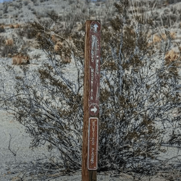
Trail Resources: Detailed maps available at Joshua Tree National Park visitor centers in Twentynine Palms, Oasis, Cottonwood, and Black Rock. The park's official website provides GPS coordinates and trail status updates. For routes that exit the park like Old Dale Road and Black Eagle Mine Road, BLM maps cover the surrounding areas.
GPX Downloads: Download GPX tracks before your trip since cell service disappears quickly once you leave towns. Popular trail mapping apps like Gaia GPS, onX Offroad, and AllTrails have user-contributed routes for all major Joshua Tree trails. Cross-reference multiple sources to ensure accuracy, as some tracks may be outdated due to seasonal changes or route modifications.
Communication: Cell coverage exists in Twentynine Palms and Yucca Valley but becomes spotty or nonexistent on trails. Advanced routes like Old Dale Road, Black Eagle Mine Road, and Pinkham Canyon have zero cell service. Satellite communication devices recommended for remote areas, especially if running trails solo or in small groups. Always inform someone of your planned route and expected return time.
Fuel and Supplies: Fill up in Twentynine Palms or Yucca Valley before heading into backcountry. No services exist on trails. Bring all food, water, and recovery equipment needed. Advanced trails require extra fuel, minimum 2 gallons water per person, emergency supplies, and complete recovery kit including winch, straps, shackles, and traction boards.
Stay on Designated Routes: Joshua Tree ecosystems are fragile. Desert vegetation takes decades to recover. Stay on established trails. Creating new routes destroys cryptobiotic soil crusts preventing erosion. Queen Valley Roads and other maintained routes have designated pull-outs every half mile for safe passing.
Respect Mining History: Old mines and structures protected by federal law. Never enter mine shafts along Old Dale Road, Black Eagle Mine Road, or anywhere in the backcountry. Shafts contain deadly dangerous hazards including bad air, unstable structures, and hidden drops. Observe historic sites from safe distance and never disturb artifacts.
Minimize Camping Impact: Use established dispersed camp sites on durable surfaces. Camp at least 200 feet from water sources. Pack out all trash including micro-trash. Use existing fire rings if building fires, though fires discouraged in summer due to wildfire risk. Advanced trail users should practice proper waste disposal in remote areas.
Protect Joshua Trees: These iconic Joshua trees are protected throughout the park. Never damage trees or vegetation. Twisted trees can live hundreds of years but recover slowly from damage. Covington Flat's massive specimens are particularly vulnerable and irreplaceable.
Trail Etiquette: Uphill traffic has priority. Communicate courteously using hand signals or CB radio. When encountering hikers or bikers, vehicles yield and pull over safely. Your behavior represents the entire off-road community. Advanced trail users should assist others in recovery situations when safe to do so.
Joshua Tree off-road trails offer some of Southern California's most diverse desert wheeling, combining iconic landscapes with challenges for every skill level. Whether you're running family-friendly Queen Valley Roads, tackling technical sections on Berdoo Canyon Road, or testing your built rig on Old Dale Road's remote mining country, this area delivers unforgettable adventures.
The combination of easy access from major cities, year-round availability, and terrain ranging from smooth dirt roads to gnarly technical challenges makes Joshua Tree essential for any off-roader's bucket list. From massive Joshua trees at Covington Flat to historic mining ruins along Black Eagle Mine Road, from gentle Queen Valley exploration to serious sand and rock challenges on Pinkham Canyon, every trail offers something special.
Remember to air down for deep sand sections, pack proper recovery gear, and respect the fragile desert ecosystem. Whether camping near Twentynine Palms for a weekend trip or making a day adventure from Palm Springs, start with easier routes like Queen Valley Roads or Geology Tour Road to build confidence, then progressively tackle more challenging trails as your skills and rig capabilities grow. The desert is waiting.
Comments will be approved before showing up.