Your Cart is Empty


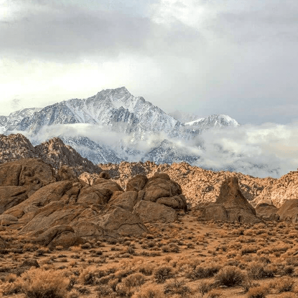
The morning sun filters through Jeffrey pines as you roll past weathered mining cabins unchanged since the 1860s gold rush. You're traveling through Holcomb Valley, where Southern California's prospectors left behind more than stories. This isn't technical rock crawling. It's a drive through living history on graded roads that stock rigs can handle easily.
Most people head to Big Bear Lake for summer recreation or winter skiing. But many are often missing one of the best routes in the San Bernardino National Forest. The Holcomb Valley trail delivers historic mining sites, scenic mountain views, and side spurs to explore without beating up your rig.
Looking for other Big Bear trails? Check out our Big Bear Off-Road Trail Guide
The Holcomb Valley trail sits between boring fire roads and technical trails requiring built rigs. You get easy access to a legitimate off-road experience without lockers or 35-inch tires. The main route follows Forest Road 3N16 through northern Big Bear, passing terrain remarkably similar to when miners struck gold here.
The historic appeal sets this apart. You're following routes miners established 160 years ago, stopping at actual gold rush sites with original structures standing. Interpretive markers explain the history, turning a scenic drive into an educational experience.
Accessibility makes it practical. Three highway approaches let you start from anywhere. The route stays open year-round when conditions allow, though the trail may be impacted by winter weather and make it impassable.Stock trucks and SUVs with high clearance can handle the main route without issues.
Holcomb Valley sits to the north of Big Bear within the broader San Bernardino National Forest. The main route follows Forest Road 3N16 (Holcomb Valley Road) for approximately 26 miles, though most drivers complete shorter sections. Elevation ranges from 6,500 feet at lower access points to around 8,000 feet at the highest sections.
William F. Holcomb discovered gold here in 1860, triggering Southern California's first major rush. Within months, thousands flooded the valley. The town of Belleville sprang up overnight, becoming one of the region's largest settlements. Mining operations lasted only a few years before easily accessible ore ran out, but infrastructure and trails remained.
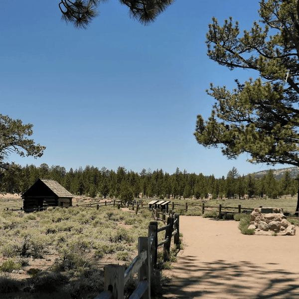
Today, Holcomb Valley preserves remarkable mining history. Original cabins still stand after 150+ winters. Mining equipment rusts where it was abandoned. Foundation remnants mark former townsites. The famous Hangman's Tree stands where rough frontier justice was supposedly administered.
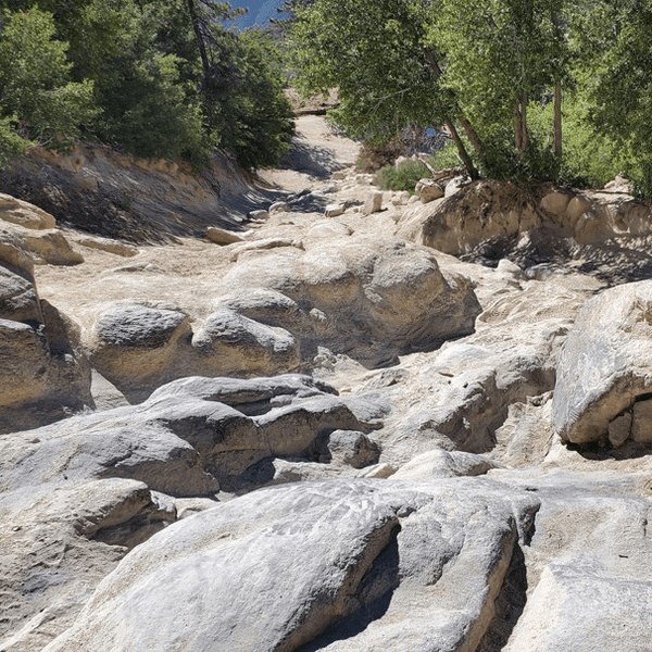
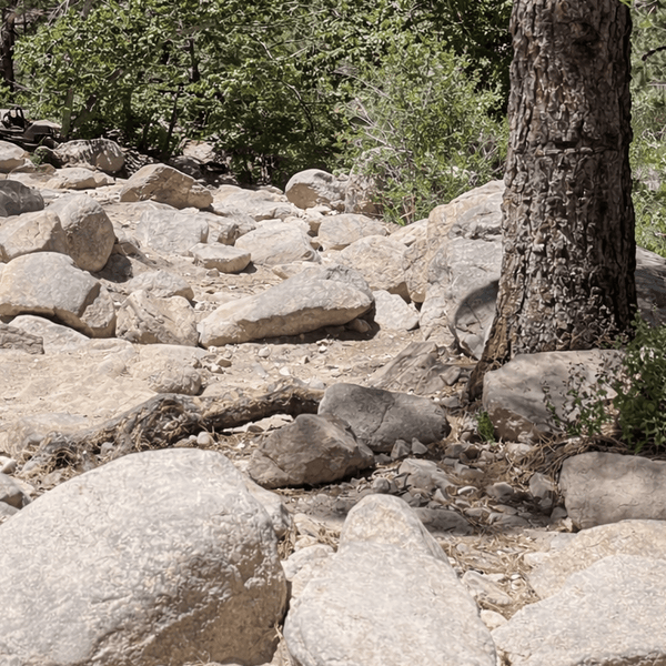
The driving experience ranges from easy graded roads to moderate sections with embedded rocks and mild ruts. Most of the main route maintains good condition suitable for stock 4x4s and careful two-wheel drive vehicles in dry conditions. Side spurs vary more significantly, some requiring high clearance and four-wheel drive.
The area sees moderate use throughout the year. Weekends bring more traffic than weekdays, but congestion never matches more famous trails. Please note a day use pass is required for certain designated day-use fee areas. Those can be picked up at the Big Bear Discovery Center and some retailers on the mountain also offer them.
There are three routes that provide access to Holcomb Valley, each offering different advantages.
From Highway 18 via Lucerne Valley: Take Highway 18 east through the mountains. About 8 miles past Highway 330, watch for the sign pointing north toward Green Valley Lake. Follow Green Valley Lake Road toward the lake. Just before reaching it, turn right onto Forest Road 3N16, marking the eastern trailhead. Green Valley Lake Road provides the most scenic approach and works well from the High Desert. Accessing 3N16 via Baldwin Lake and the Dump Access Road is also possible.
From Highway 330 through Running Springs: Take Highway 330 north from Highland. The highway climbs steeply to meet Highway 18. Turn east toward Big Bear. After approximately 6 miles, look for access signs near Big Bear Dam. This provides fastest access from the Inland Empire and Los Angeles area.
From Highway 38 through Redlands: Take Highway 38 east from Redlands through Angelus Oaks toward Big Bear. Several forest roads branch north toward Holcomb Valley near Baldwin Lake. This offers more scenic mountain views but takes longer. Highway 38 can close during winter, so check conditions November through April.
GPS coordinates for the eastern trailhead (near Green Valley Lake) are approximately 34.2598°N, 116.9142°W. Western access points near Big Bear Dam sit around 34.2547°N, 116.8912°W.
Forest Road 3N16 forms the backbone of Holcomb Valley. The road is graded and maintained periodically, keeping width for two vehicles to pass in most sections. Surface conditions vary from smooth packed dirt to rougher rocky sections with mild washboard.

Ground clearance of 7-8 inches handles the main route comfortably. Stock SUVs and light trucks work fine. Four-wheel drive helps but isn't absolutely required on the main route during dry weather. It becomes more important on side spurs and after rain.
Speed averages 15-25 mph, depending on conditions and stops. Figure 2-3 hours minimum to drive the full length without stops. Add time for historic sites. Most people spend a half day to a full day in the valley.
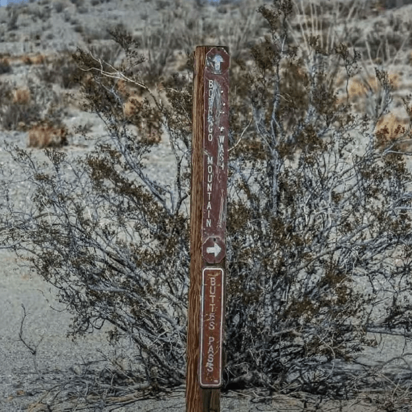
Cell service is spotty to nonexistent. Download a map and information before you go. Carry a paper forest map as backup. The Mountaintop Ranger District offices are located in the Big Bear Discovery Center and they sell detailed maps showing all numbered forest roads.
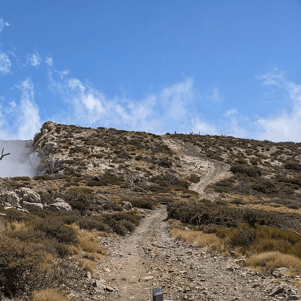
Weather changes rapidly at this elevation. Summer afternoons bring thunderstorms, especially June through August. Winter can make sections impassable. Spring brings muddy conditions in shaded areas. Fall often offers the best conditions, particularly October when weather stabilizes.
The difficulty rating varies by section. Most of the main route qualifies as easy, while side spurs range from easy to moderate depending on conditions and recent weather.
Distance: ~26 miles one-way
Time: 2-3 hours driving, 4-5 hours with stops
Difficulty: Easy to moderate
Vehicle: Stock SUV, 4WD recommended
The full traverse of Forest Road 3N16 provides the complete experience. Most prefer beginning near Green Valley Lake and driving west toward Big Bear Lake.
From the eastern trailhead, the route enters pine forest immediately. The road climbs gently through the first few miles, passing scattered cabins and mining remnants. Around mile 9, you'll reach Pygmy Cabin, one of the valley's iconic structures.
The middle section runs through more open terrain with views across Baldwin Lake. This portion maintains the best road conditions. Several designated camping sites sit along this stretch, identified by yellow posts.
Toward the western end, the road gradually descends. It narrows slightly and features a few rocky and off-camber sections. While not overly technical, careful tire placement is recommended in spots. The route ends near the east side of Baldwin Lake, where it connects with the Dump Access Road and nearby paved roads.
Distance: ~12 miles loop
Time: 2-3 hours with stops
Difficulty: Easy
Vehicle: Any vehicle with adequate clearance
The Gold Fever Trail provides an interpretive driving tour of gold rush history. The route parallels 3N16 in sections while branching to specific historic sites. The Forest Service installed interpretive markers at key locations.
Drive the loop clockwise for natural marker flow. Major stops include:
Hangman's Tree: A reconstructed gallows stands where frontier justice supposedly occurred. Interpretive signs explain (possibly exaggerated) stories of vigilante hangings during lawless early mining days.
Gold Mountain Mine: A spur road (3N69) leads to ruins of one of the valley's productive mining operations. You can see stamp mill remnants, mining equipment, and tailings. The viewpoint overlooks Big Bear Lake. This side spur requires higher clearance and 4WD.
Ross's Grave: A simple cross marks an early prospector's resting place. The grave sits slightly off the main road, requiring a short walk.
Pygmy Cabin: This tiny structure demonstrates modest living conditions miners endured. The cabin remains in decent condition despite its age.
Two-Gun Bill's Saloon Site: Foundation remnants mark where one of Belleville's famous establishments once stood during boom times.
The Gold Fever Trail makes an excellent introduction. You get historic highlights without committing to the full 26-mile traverse. The entire loop takes 2-3 hours including stops.
Distance: Variable, 15-30 miles
Time: 4-6 hours
Difficulty: Easy to moderate
Vehicle: 4WD with all-terrain tires required
Holcomb Valley connects to numerous other forest roads, allowing custom routes. Popular combinations include 3N16 plus 3N69 (the route to Gold Mountain) or 3N16 plus 3N10 (John Bull) for longer adventures through varied terrain.
These connector options work best for experienced drivers wanting more than the standard route. Difficulty increases on side roads, especially after weather events.
|
Stop |
Description |
Coordinates / Access |
|
Pygmy Cabin |
Small historic miner’s structure near 3N16 |
3N16 Mile 9 |
|
Belleville Townsite |
Former boomtown site; foundations remain |
Near 3N32 Spur |
|
Ross’s Grave |
Resting place of early prospector; marked cross |
Off Gold Fever Trail |
|
Hangman’s Tree |
Reconstructed gallows; famous Gold Rush justice symbol |
Off 3N16 east end |
|
Holcomb Valley Campground |
Shaded forest camping, picnic area, vault toilets |
Central 3N16 |
|
Gold Mountain Mine |
Active claim ruins and viewpoint toward Big Bear Lake |
Spur via 3N69 |
Pygmy Cabin represents one of the most photographed structures in the valley. The tiny cabin sits directly adjacent to 3N16 around mile 9. Its remarkably small size surprises most visitors and demonstrates minimal shelter miners considered adequate.

Belleville Townsite requires imagination to appreciate. The former boomtown once housed thousands during the rush. Today, only scattered foundation stones mark where the town stood. A short spur road provides access. Walk carefully as old mineshafts dot the area, some without adequate signage or protective barriers.
Ross's Grave tells a personal story among broader history. The marked cross identifies an early prospector's resting place. The grave receives periodic maintenance from history enthusiasts and the Forest Service. Additional details about Ross's life remain limited, adding to the mystery.
Hangman's Tree draws crowds despite being a reconstruction. The original tree died long ago. The Forest Service installed a new tree and gallows to mark the location where rough justice was supposedly administered.

Holcomb Valley Campground provides the only developed facility. The site includes picnic tables, fire rings, and vault toilets. No water is available. The campground operates on a first-come basis and requires a permit. Sites fill quickly on summer weekends, especially June through October.
Gold Mountain Mine requires a side trip up 3N69, a rougher spur demanding 4WD and high clearance. The ruins include collapsed structures, equipment, and tailings demonstrating operation scale. The viewpoint overlooks Big Bear and surrounding mountains.

Camping options include developed sites at Holcomb Valley Campground and dispersed camping throughout San Bernardino National Forest following Leave No Trace principles. Dispersed camping is allowed in most areas with standard restrictions: camp at least 200 feet from water sources, stay at least one mile from the established campground, limit stays to 14 days.
Campfire regulations vary seasonally, but in all honesty it is not uncommon for there to be fire restrictions year round. Check current restrictions before your visit. When fires are allowed, use existing fire rings and keep fires small. Dogs are allowed but must remain on leash in developed areas.
Recreation beyond driving includes hiking, mountain biking, and wildlife viewing. The Pacific Crest Trail passes through the broader Big Bear region, and several connecting trails branch from the main route. Wildlife is abundant, including deer, black bears, and mountain lions. Store food properly in bear-proof containers or vehicles.
Seasonal considerations include cold nights even in summer (temperatures can drop to the 40s), afternoon thunderstorms during summer months, and conditions that can close sections from November through April. Spring brings muddy conditions in shaded areas. Fall offers the best camping weather, particularly in October when aspens change color. The campground typically stays open when weather permits but can close during heavy winter conditions.
The embedded map shows the trail network, including Forest Road 3N16, major side spurs, historic sites, and access points. Use this map for trip planning and to find specific locations.
San Bernardino National Forest Service sells detailed printed maps showing all numbered forest roads and current closures. These are available at the Big Bear Discovery Center and Forest Service offices. GPS apps like Gaia GPS and onX Offroad include the main routes with downloadable map data. Download offline maps before you go since cell service is unreliable. Follow the marked routes and numbered forest roads to stay on established paths.
The Forest Service website maintains current road condition information and closure updates. Check before your trip, especially after winter or during fire season. Paper maps remain a useful backup despite modern GPS technology.
Holcomb Valley's historic significance requires responsible visitor behavior. Stay on established roads. The valley's terrain shows vehicle damage easily, with tracks lasting years. Creating new routes damages vegetation and causes erosion.
Respect historic sites. The mining structures, equipment, and artifacts represent irreplaceable cultural resources. Look but don't touch or collect. Federal law protects historic sites with significant penalties for damage or theft.
Pack out everything you bring in. The valley lacks trash facilities. Use vault toilets at Holcomb Valley Campground when available. When dispersed camping, dig catholes 6-8 inches deep at least 200 feet from water and trails.
Wildlife etiquette includes proper food storage, maintaining distance from animals, never feeding wildlife, and keeping dogs on leash in developed areas. Bears that become food-conditioned often must be destroyed.
Share the road politely with other users including 4x4s, motorcycles, ATVs, and mountain bikes. Slower vehicles should pull over to allow faster traffic to pass. Mining claims exist throughout the valley. Stay out of marked claim areas and never disturb mining equipment.
Timing your visit matters. Summer weekends bring crowds and afternoon thunderstorms. Fall weekdays provide the best experience with fewer people and stable weather. Late September and October offer changing aspen colors.
Start with the Gold Fever Trail loop if it's your first time. The shorter interpretive route introduces you to the valley's character. You can extend your drive if time allows.
Bring more water than expected. The elevation and dry air cause dehydration faster than anticipated. A gallon per person per day is minimum. No reliable water sources exist in the valley. Also bring layers for temperature changes.
Download a map and information beforehand. Cell service is unreliable to nonexistent. Don't count on looking things up once you're in the valley. Save offline maps to help you find waypoints and navigate the area.
Check weather forecasts and Forest Service alerts. Conditions change rapidly at 7,000+ feet. Summer storms develop quickly. Winter conditions can close roads overnight. The Forest Service posts current conditions online and at the Big Bear Discovery Center.
Fuel up before entering. You can find fuel in Big Bear or Lucerne Valley. No services exist in Holcomb Valley. Make sure you have plenty of gas, as rough roads consume more fuel than highway driving.
Temperature swings of 30-40 degrees between day and night are normal. Summer afternoons might reach 80°F while nights drop to the 40s. Bring appropriate clothing for variable conditions.
Holcomb Valley delivers accessible off-roading with genuine historic interest. You don't need a built rig to explore where Southern California's mining boom unfolded. The forest roads pass actual mining sites where real people lived, worked, and died chasing fortunes.
The trail works as a quick afternoon drive or multi-day camping adventure. Run the Gold Fever Trail loop for a taste, or commit to the full 3N16 traverse for deeper exploration. Either way, you're driving through a landscape time hasn't changed as much as expected.
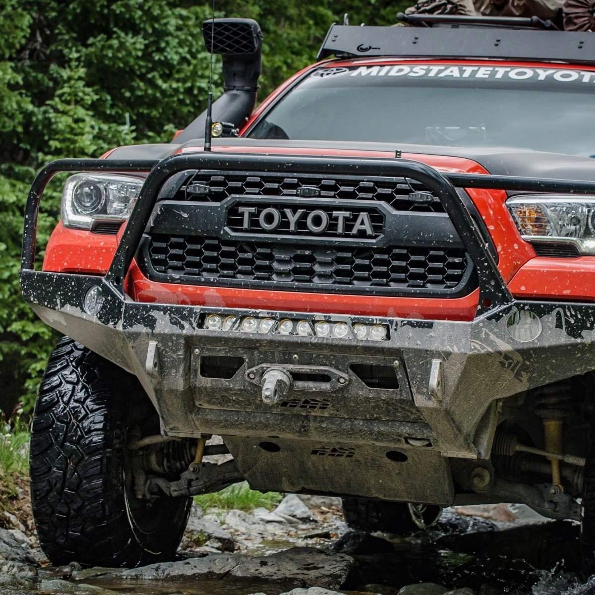
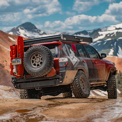
If you're looking to upgrade your rig for trails like this and beyond, feel free to browse the accessories and gear at Truck Brigade. Safe travels out there.
Comments will be approved before showing up.